


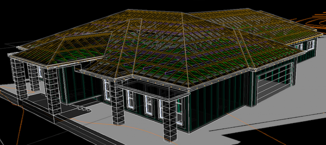
Leica Geosystems announced the industry’s first commercially available wearable reality-capture technology with the Pegasus:Backpack at HxGN LIVE.
Combining five high-dynamic cameras, which work in a variety of light conditions, and a LiDAR profiler with an ultra-light and ergonomic carbon fiber chassis, this mobile mapping solution creates a 3D view indoors or outdoors for engineering or professional documentation creation at the highest level of authority yet.
For BIM or simply for capturing 2D square foot updates to a large building, the Leica Pegasus:Backpack creates the most realistic view by capturing synchronized imagery and point cloud data. Accurate positioning is achieved in GNSS-restricted areas using Simultaneous Localization and Mapping, or SLAM, technology. Together with a high precision inertial measurement unit, the Leica Pegasus:Backpack is the first position-agnostic solution.
This new technology is designed to enable weekly data capture efficiently and cost effectively for changing building construction sites. For the first time, this enables the creation of a full starting document for authoritative 6D management of a building or simply to provide an authoritative hand-off dataset to a new building owner. By capturing weekly during a building’s construction, an “x-ray” view of the building is created. As the Backpack clearly logs position and time with the advanced measurement of LiDAR, change orders in the construction process can now offer a complete new level of authority for quality construction while scheduled milestones are achieved.
With full 360-spherical views and LiDAR together plus a hardware light sensor, all images are usable while other functions are verifiable and adjustable over the operator’s tablet device. The system uses multiple hot-swappable batteries, making even long captures possible.
“With the Leica Pegasus:Backpack, limited-access outdoor areas or underground infrastructures are no longer limited in professional data collection,” said Stuart Woods, Geospatial Solutions Division vice-president. “Users will never again forget any aspect of any job nor need to return to a project site. They can capture everything by simply arriving on site wearing the technology, capture and leave, rest assured they have everything they need to complete the job on time and on budget.”
Working with images and point clouds together, data is captured into a single platform and workflow – from the operator interface to a single-click post-processing to feature Meta tagging. Leveraging Leica’s Mapfactory extension, features can be extracted and datasets can be exported to CAD or BIM specific software solutions. More effective decision making is finally achieved with 3D spatial models that allow for true life cycle building planning, enabling 6D BIM.
Related Stories
BIM and Information Technology | Apr 24, 2017
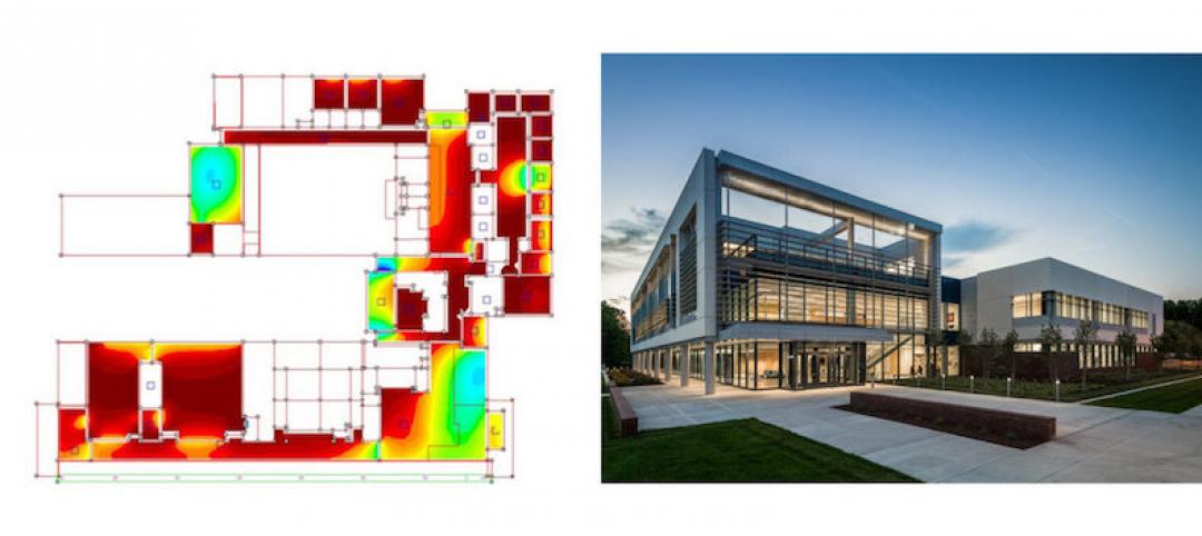
Reconciling design energy models with real world results
Clark Nexsen’s Brian Turner explores the benefits and challenges of energy modeling and discusses how design firms can implement standards for the highest possible accuracy.

BIM and Information Technology | Apr 17, 2017
BIM: What do owners want?
Now more than ever, owners are becoming extremely focused on leveraging BIM to deliver their projects.
Sustainable Design and Construction | Apr 5, 2017
A new app brings precision to designing a building for higher performance
PlanIt Impact's sustainability scoring is based on myriad government and research data.

BIM and Information Technology | Mar 28, 2017
Digital tools accelerated the design and renovation of one contractor’s new office building
One shortcut: sending shop drawings created from laser scans directly to a wood panel fabricator.
BIM and Information Technology | Mar 13, 2017
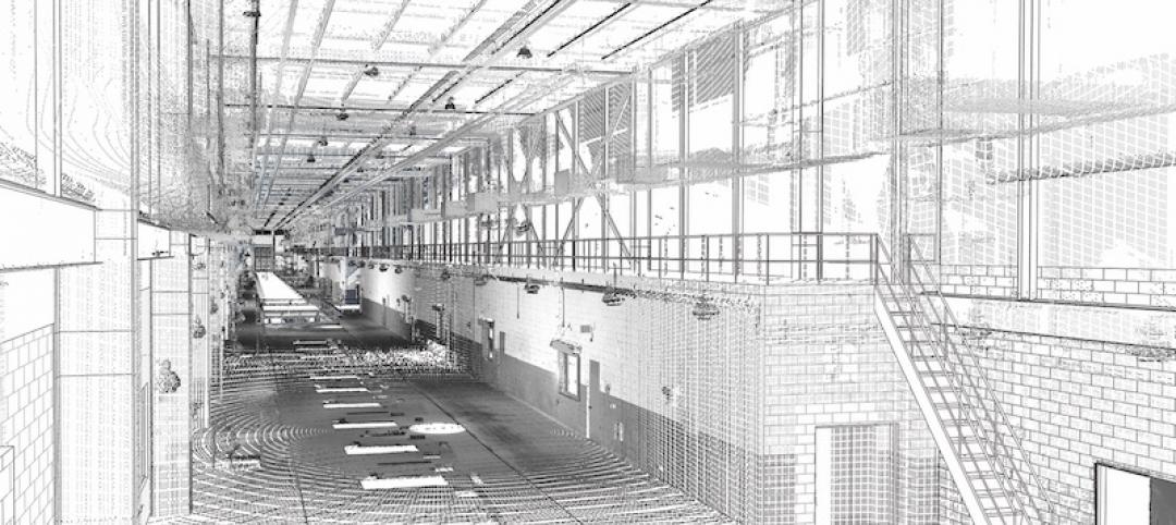
Real-time, high-speed scanning – The latest in reality capture
Here are a few new reality capture products and platforms that caught our eye.
BIM and Information Technology | Mar 10, 2017
'Reality modeling' arrives
Advanced reality capture technologies are breaking down the barriers between the job site and project models.

BIM and Information Technology | Feb 6, 2017
BIM for O+M: Less about the model, more about the data
How one Building Team is giving a university client what its facilities staff really wants from BIM: information, please.
Codes and Standards | Jan 13, 2017
New BIM guide for owners released
National Institute of Building Sciences releases a manual for developing standard set of BIM documents.
Designers | Jan 13, 2017
The mind’s eye: Five thoughts on cognitive neuroscience and designing spaces
Measuring how the human mind responds to buildings could improve design.

Architects | Oct 11, 2016
A good imagination and a pile of junk: How maker culture is influencing the way AEC firms solve problems
“Fail” is no longer a dirty four-letter word: for maker culture, it has become a crucial stop along the way


