

Productivity and design improvements including:
- An updated, modern interface for Autodesk AutoCAD 2015 and AutoCAD 2015-based products: Helps building designers and civil engineers quickly open new and existing drawings with New Tab, visually access drawing content with Ribbon Galleries, and easily find tool locations with new Help Window functionality
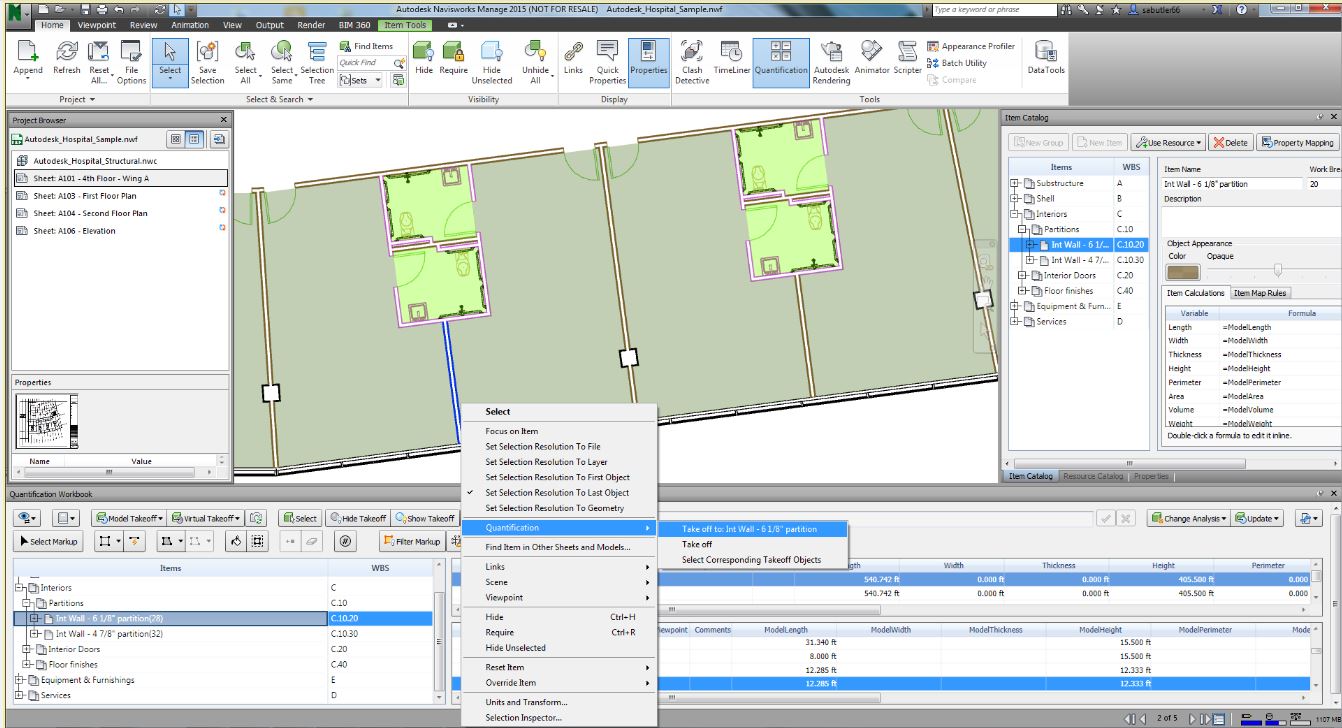
- Integrated 2D & 3D quantification capabilities in Autodesk Navisworks Simulate 2015 and Autodesk Navisworks Manage 2015
- Better integration with the cloud: New one-button access to Autodesk BIM 360 from Autodesk Navisworks Manage 2015, Autodesk Navisworks Simulate 2015, Autodesk Revit 2015, and Autodesk AutoCAD 2015 helps customers collaborate and manage their BIM project workflow and data
- Enhanced point cloud capabilities include improved control over point cloud datasets and enhanced display settings in AutoCAD 2015-based products, as well as Autodesk Navisworks Manage 2015, Autodesk Navisworks Simulate 2015, Autodesk Revit 2015, Autodesk 3ds Max Design 2015, and Autodesk InfraWorks 2015, provide more realistic visualizations and walk-throughs
Building Design
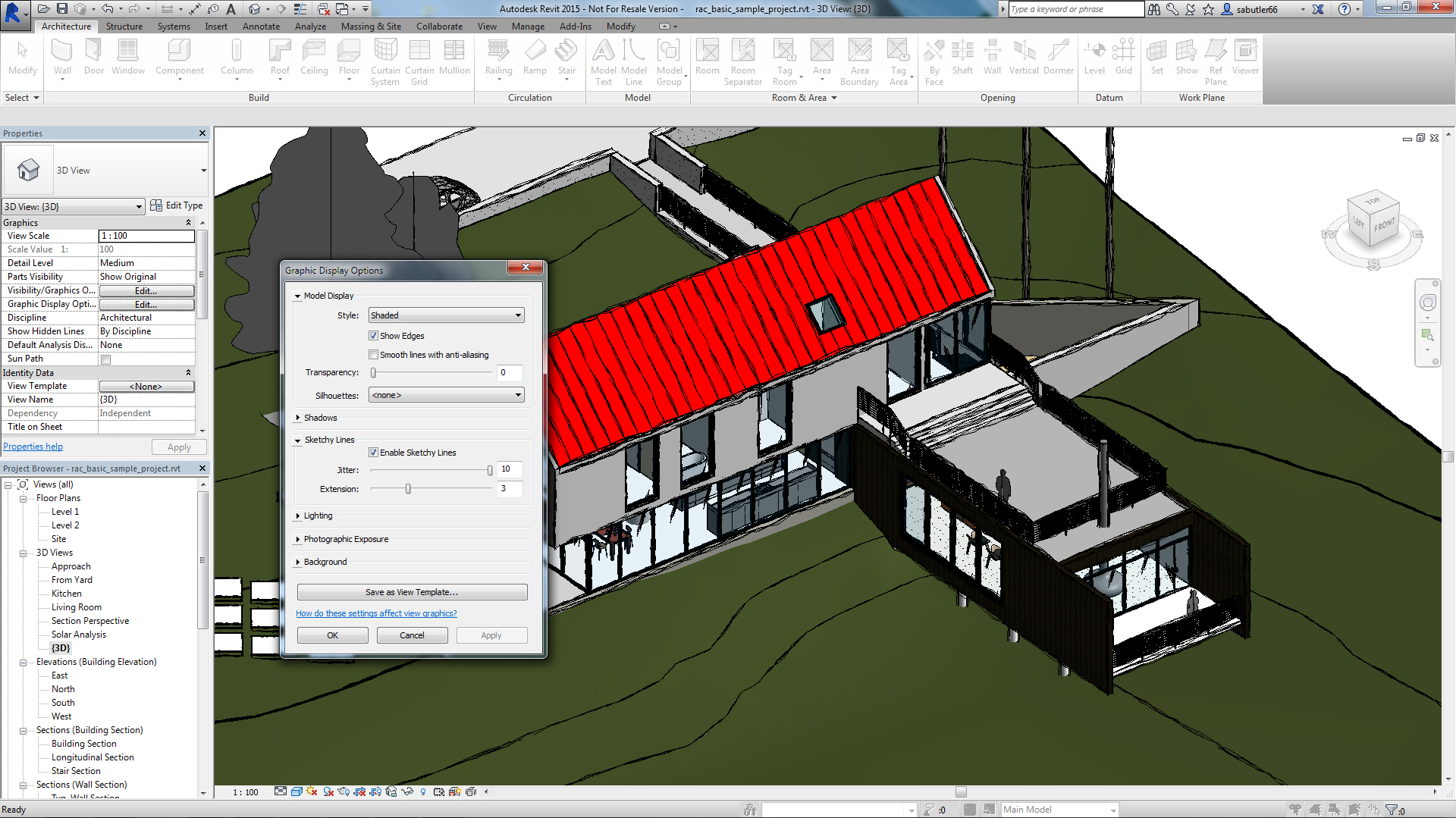
- Apply a hand-sketched, graphic style to models, using the sketchy lines feature
- Include imagery in schedules to better convey graphical information
- Create and manage changes with improved tools to sketch and control revision cloud shapes
- Create more accurate documentation in 3D views using enhanced hidden lines capability
Civil Engineering
- Greater flexibility for designing and displaying corridor models
- More efficient creation of profile layouts
- Better production drafting to create deliverables more efficiently
- More consistency between the AutoCAD Civil 3-D and AutoCAD ribbon/command set
- Simpler ways to create custom subassemblies
- Streamlined geographic location functionality includes ability to capture and embed Online Map Data (e.g. aerial map information) for offline viewing and plotting
- Better interoperability and data exchange functionality for DWG and DGN files
Oil & Gas: Plant Design
- Center of Gravity (COG) functionality to identify and edit COG for piping models, spools or components and produce COG reports
- Fixed-length pipe modeling capability helps route fixed-length piping more easily
- Bill of Materials capability to create tables and linked annotation when composing orthographic drawings
Availability
Related Stories

Big Data | May 5, 2016
Demand for data integration technologies for buildings is expected to soar over the next decade
A Navigant Research report takes a deeper dive to examine where demand will be strongest by region and building type.

BIM and Information Technology | May 2, 2016
How HDR used computational design tools to create Omaha's UNO Baxter Arena
Three years after writing a white paper about designing an arena for the University of Nebraska Omaha, HDR's Matt Goldsberry says it's time to cherry-pick the best problem-solving workflows.

Drones | Apr 25, 2016
The Tremco SkyBEAM UAV is the first to be approved by the FAA for nighttime commercial operation
The SkyBEAM UAV is used for identifying energy leaks, rooftop damage, deteriorating façades, and safety issues without requiring scaffolding or cranes.

BIM and Information Technology | Apr 21, 2016
U.K. imposes BIM requirement on government projects
U.S. unlikely to follow suit.

AEC Tech | Apr 15, 2016
Should architects learn to code?
Even if learning to code does not personally interest you, the growing demand for having these capabilities in an architectural business cannot be overlooked, writes computational design expert Nathan Miller.

Building Tech | Apr 12, 2016
Should we be worried about a tech slowdown?
Is the U.S. in an innovative funk, or is this just the calm before the storm?

BIM and Information Technology | Apr 8, 2016
Turner streamlines construction progress tracking using predictive visual data analytics
The construction giant teams with a computer science and engineering professor to develop a clever drone- and rover-based construction monitoring tool.

BIM and Information Technology | Apr 5, 2016
Interactive 3D map shows present and future Miami skyline
The Downtown Miami Interactive 3-D Skyline Map lets users see the status of every downtown office, retail, residential, and hotel project.

AEC Tech | Mar 31, 2016
Deep Learning + AI: How machines are becoming master problem solvers
Besides revolutionary changes to the world’s workforce, artificial intelligence could have a profound impact on the built environment and the AEC industry.

Big Data | Mar 28, 2016
Predictive analytics: How design firms can benefit from using data to find patterns, trends, and relationships
Branden Collingsworth, HDR’s new Director of Predictive Analytics, clarifies what his team does and how architecture projects can benefit from predictive analytics.


