

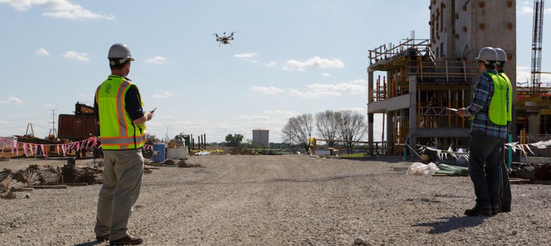
Still images that drones capture on flyovers are typically shot from above straight down, and then are “stitched” together and processed by software to create algorithms or 3D models.
Software that measures volumes within those images can be pricey, and data analysis confined to desktop computers. DroneDeploy, a provider of cloud-based software that is compatible with any UAS, is offering a more economical way to compute volumes on maps directly from the field.
On February 3, DroneDeploy made available to its current subscribers a new product that allows users to do real-time volume measurements on any mobile device.
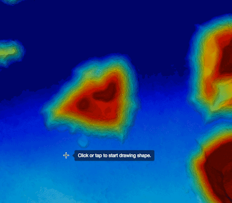
This volumetric measurement tool includes an annotation toolbox that helps identify the flat surface around the stockpile to find the “underneath” of a pile in order to calculate its volume.
An elevation toolbox shows the elevation of every point on the map. Histograms show each elevation and the distribution of elevations on the map. The elevation tool measures the variance of each pixel to account for outliers on the site like towers, so the user can focus on measuring specifically the volume of interest within the image.
Darr Gerscovich, DroneDeploy’s Senior Vice President of Marketing, tells BD+C that this tool would be helpful for users who want to measure a mound of building materials on the site, such as a cement pile, to gauge whether there is sufficient quantity for the work being done.
This software can also give drone users a better understanding of the status of a project or whereabouts of equipment. Identifying drainage issues becomes more transparent, too.
Tests before this launch found that the volume measurements are accurate within 2% of traditional ground-base laser measurements.
This volumetric analysis tool is available to DroneDeploy’s Pro and Precision subscribers. New subscribers can sign up for a free one-month trial, after the volumetric tool that’s part of the Pro package starts at $99 per month. The Precision package—which along with the volumetric tool offers sharper image resolution, dedicated engineering support, Ground Control Points and Custom Coord Systems—starts at $499 per month.
Gerscovich says the lower price and mobile flexibility are what separate this volumetric tool from others that are currently on the market.
Related Stories

Laboratories | Jul 24, 2020
Customized labs give universities a recruiting edge
CO Architects is among a handful of firms that caters to this trend.
Drones | Mar 11, 2020
AI takes flight
Drones keep getting smarter. How will they fit into construction workflow?

AEC Tech | Feb 13, 2020
Exclusive research: Download the final report for BD+C's Giants 300 Technology and Innovation Study
This survey of 130 of the nation's largest architecture, engineering, and construction firms tracks the state of AEC technology adoption and innovation initiatives at the AEC Giants.

AEC Tech | Jan 29, 2018
thyssenkrupp tests self-driving robot for ‘last mile’ delivery of elevator parts
“With driverless delivery robots, we could fill a gap and get spare parts from our warehouses to the jobsite faster,” said thyssenkrupp SVP Ivo Siebers.

Codes and Standards | Jan 26, 2018
Flying drones while inebriated now illegal in New Jersey
Violators could be sentenced to six months in jail.
Drones | Nov 3, 2017
MyDefence Communication's anti-drone system says 'No drone for you!'
The new anti-drone system looks to protect stadiums, prisons, and other sensitive buildings and sites from unwanted UAV flights.
Codes and Standards | Sep 26, 2017
Anti-drone technology can ward off unauthorized drone flights
The technology can be used to prevent terrorist attacks and spying.
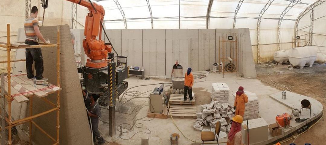
3D Printing | Jun 14, 2017
This is the world’s first building completely 3D printed onsite
The building is a lab for research on drones and 3D printing technology.

Drones | Mar 8, 2017
Do's and don'ts for operating drones
Some estimate 85-90% of drone operators aren’t FAA certified under the agency’s Part 107 rules or aren’t covered by liability insurance.
Drones | Mar 8, 2017
Flight plan: Drones fill the skies over construction sites
More AEC firms are boarding, as new FAA rules ease restrictions on operating unmanned aerial vehicles armed with sensors and cameras.


