


When it comes to the locals and visitors of the world’s major cities, a cellular phone is a staple. With that many people using their phones, a lot of interesting patterns can be observed from analyzing their data and phone usage information.
This is what developers at MIT’s SENSEable City Laboratory created together with Ericsson: ManyCities, a new website that “explores the spatio-temporal patterns of mobile phone activity,” ArchDaily reports. The web tool takes complex data and organizes it so that users can easily visualize the patterns of human movement within the city.
A chat board on the right-hand side allows users to post their observations, creating a forum where urban planners, demographers, and anyone else interested can cross-pollinate and find creative ways of using the data.
So far, the cities available on the web tool are London, New York, Hong Kong, and Los Angeles.
Related Stories

BIM and Information Technology | Aug 9, 2016
How to improve a project presentation with animated GIFs
Animated GIFs are a simple tool that can explain a large amount of intricate information in an easy to understand, streamlined manner.
BIM and Information Technology | Jul 25, 2016
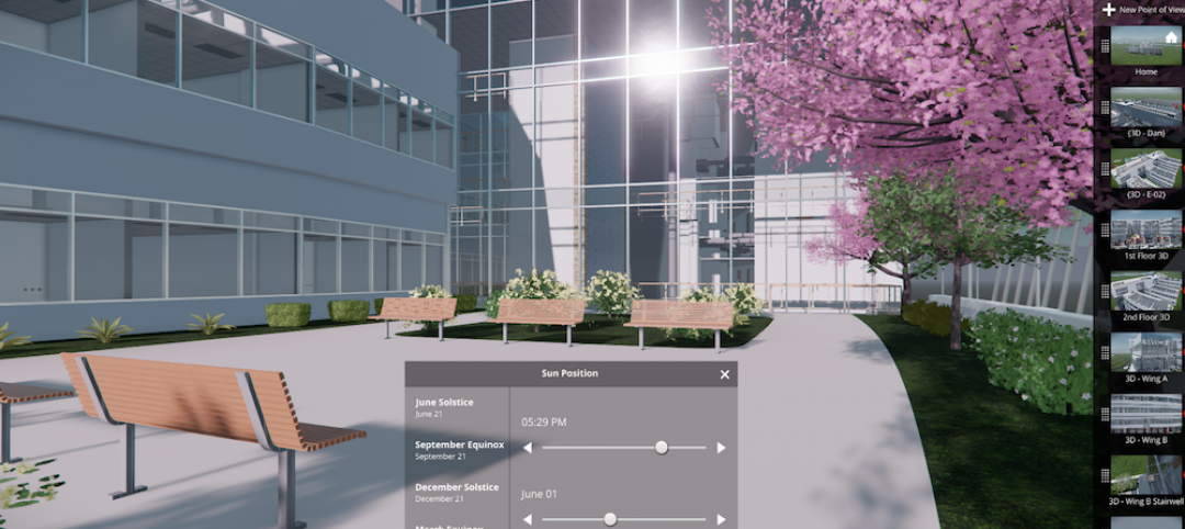
Autodesk’s LIVE turns designs into video game-like experiences
Users can adjust navigation points, render styles, and even the time of day, with fluid and quick controls.

Building Tech | Jul 14, 2016
Delegates attending political conventions shouldn’t need to ask ‘Can you hear me now?’
Each venue is equipped with DAS technology that extends the building’s wireless coverage.

BIM and Information Technology | Jun 14, 2016
Autodesk and Trimble will share APIs to develop products that improve user workflow
Data and document management is likely to benefit the soonest.

BIM and Information Technology | Jun 13, 2016
The race to digitize the globe with 3D imagery
Tech firms are creating a highly-detailed virtual planet available instantly for those who would like to scrutinize it. SmithGroupJJR's Stephen Conschafter details the new technologies being used to map our world.

BIM and Information Technology | Jun 7, 2016
Conquer computational design: 5 tips for starting your journey
Data-driven design expert Nathan Miller offers helpful advice for getting your firm ready to use CD tools and concepts.

BIM and Information Technology | Jun 7, 2016
6 ways smart AEC firms are using computational design methods
Rapid prototyping, custom plug-ins, and data dashboards are among the common applications for computational design.

BIM and Information Technology | May 20, 2016
AIA and Autodesk introduce new feature to automate 2030 Commitment reporting data
The new automated connection will allow the more than 350 AIA 2030 committed firms to report their project and portfolio performance to the DDx directly from Autodesk Insight 360.

AEC Tech | May 10, 2016
Thornton Tomasetti launches new tech company
TTWiiN initially features six products and will add more via its own incubator.

Sponsored | BIM and Information Technology | May 10, 2016
Advanced laser scanning technology supports data collection and modeling efforts for Missouri’s Iatan 1 Power Plant
For the installation of a new heat exchanger, the power division of Black & Veatch contracted an engineering firm to laser scan the site, make a piping model in Autodesk® Revit®, and export it into AutoCAD® to deliver results.


