


Four years ago, Massachusetts Institute of Technology’s City Form Lab launched Urban Network Analysis (UNA), a city-modeling software that facilitates a mathematical analysis of relationships among elements in a complex system, like a city. The unique feature of UNA is that it incorporates activities within buildings into its analysis.
This toolbox has been popular with planners and geographers, but it requires ArcGIS10 software with an ArcGIS Network Analysis Extension.
In April, City Form Lab expanded this software’s utility by introducing UNA for Rhino 3D, a modeling software for architects, engineers, and designers.
“Our toolbox helps planners and architects analyze these relationships and quantify how intensely different routes are likely to be utilized, how visible or connected public spaces are, or how conveniently one can get from one space to another,” says Andres Sevtsuk, the principal investigator at City Form Lab and developer of the UNA tool.
In layman’s terms, the software predicts where people are likely to go once they’ve decided upon an activity, like, say, going to an ATM machine or a park. The software provides users with some idea about which ATM or park that would be. As for movements to and within buildings, UNA takes into account employee head count, a building’s value, the surrounding population, and so forth.
This app’s toolbox also computes how urban design can affect—or even dictate—pedestrian movement. Sevtsuk notes, too, that the software can be scaled to account for the diversity of movement in different cities and towns.
Sevtsuk is encouraged by the sheer amount of spatial data available about urban areas, particularly in the U.S., where “you can go to any sizable city website and download data that is necessary to calibrate any of these models.” He’s confident that this software can be used to predict movement in public or semi-public spaces such as building lobbies or shopping centers.
Related Stories

Sponsored | Building Team | Nov 3, 2017
4 strategies for marketing your AEC firm
Having a clearly defined competitive brand and a fine-tuned marketing approach can give your firm a significant competitive advantage.

BIM and Information Technology | Oct 18, 2017
Project Frog announces Autodesk investment
Autodesk’s investment in Project Frog creates a common data environment, streamlines design and engineering processes, and optimizes architectural design for manufacturing.
BIM and Information Technology | Oct 12, 2017
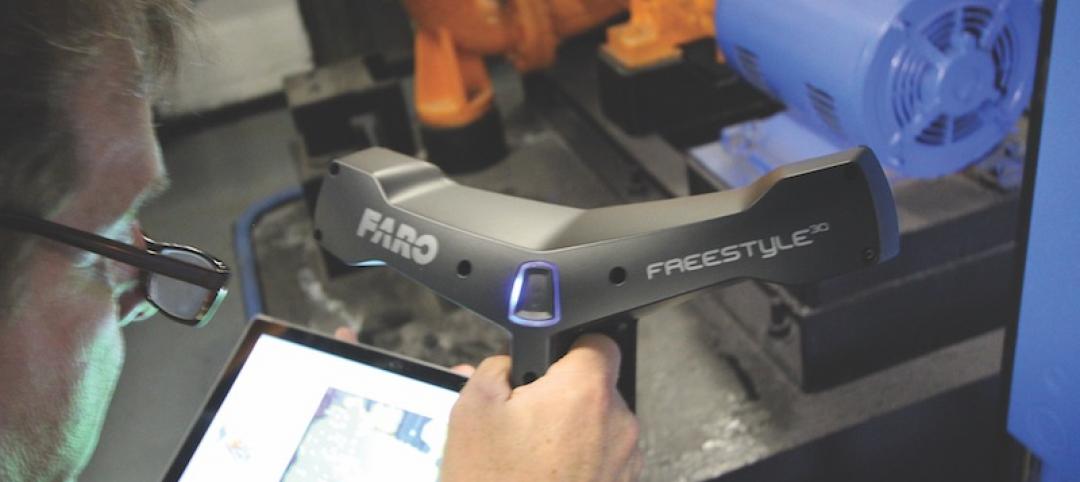
Laser scanners go handheld
The emergence of handheld 3D laser scanners has been a boon for firms looking to lower costs and speed up turnaround time.

Sponsored | BIM and Information Technology | Oct 10, 2017
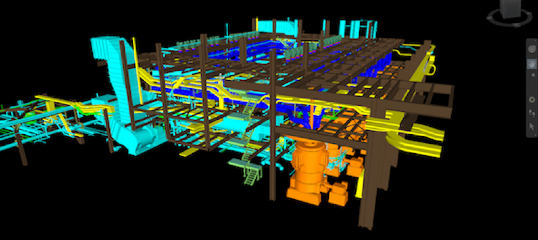
Moody Engineering, Inc. utilizes 3D scanner to meet challenges of phosphoric acid tank remodel
By integrating creativity and ingenuity with practicality, the Moody team was able to address the project’s specific requirements in order to save the customer time and money on this challenging project.

AEC Tech | Oct 6, 2017
How professional bias can sabotage industry transformation
Professional bias can take the form of change-resistant thinking that can keep transformational or innovative ambitions at bay. Tech consultant Nate Miller presents three kinds of bias that often emerge when a professional is confronted with new technology.

Sponsored | BIM and Information Technology | Sep 19, 2017
BIM vs VDC…how the US and the UK differ in approaching digital project delivery
In this four-part series, Bluebeam VP Sasha Reed sat down with industry experts to examine the need for defining and understanding digital workflows and data management throughout the design and construction project lifecycle.
Sponsored | BIM and Information Technology | Aug 28, 2017
3D scanning solution brought in to beat the heat on challenging fuel pipe demolition and replacement project
Acensium is an engineering consulting services firm with a focus on material handling retrofit projects and 3D scanning for as-built reality capture.
AEC Tech | Aug 25, 2017
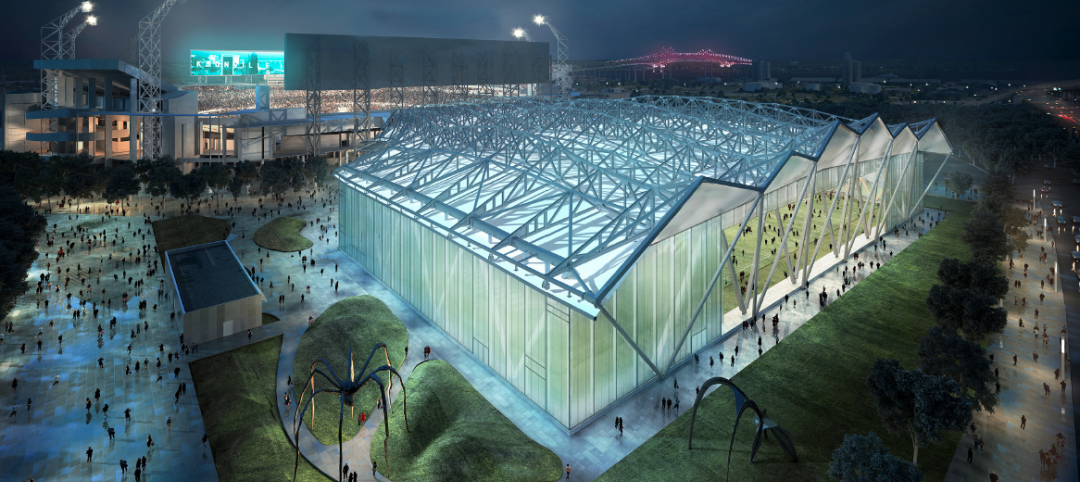
Software cornucopia: Jacksonville Jaguars’ new practice facility showcases the power of computational design
The project team employed Revit, Rhino, Grasshopper, Kangaroo, and a host of other software applications to design and build this uber-complex sports and entertainment facility.

Office Buildings | Jul 20, 2017
SGA uses virtual design and construction technology to redevelop N.Y. building into modern offices
287 Park Avenue South is a nine-story Classical Revival building previously known as the United Charities Building.


