

DPR Construction tries to resist being driven by the technology of the moment, says Chris Torres, the firm’s Technology Integration Manager.
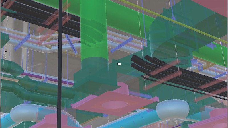
But there are times, he admits, when attention must be paid. That happened last November, when Torres got his first glimpse of Indoor Reality, a backpack with a built-in laser scanner that its creators claim can scan 200,000 sf in just eight hours—roughly 30 times faster than stationary scanners.
The product—one of several similar backpacks on the market—goes wherever the user roams, using cellphone-based indoor GPS as its guide. The manufacturer claims the unit can help project teams generate Revit models three times faster than traditional point cloud methods.
Indoor Reality’s $100,000 price tag might be prohibitive for some AEC firms, but Torres says the supplier also showed a hand-held version that goes for around $15,000.
The reality capture world is replete with new products; so many, in fact, that it’s a wonder buyers can keep up with the releases. Here are a few new products and platforms that caught our eye:
- RTK and PPK. These are acronyms for real-time kinematic and post-processing kinematic GPS sensors. They are part of systems that provide accurate camera locations when using drones for mapping. They reduce the need for surveyed ground control to produce accurate digital terrain models and orthophotos from photogrammetry. PPK doesn’t require a radio link. Accuracies of 25 mm (XY coordinate) and 50 mm (Z coordinate) are achievable.
- A host of hand-held laser scanners has been making its way onto the market. One that’s been getting attention from AEC experts is Leico Geosystems’ BLK 360 scanner. Size: 6.5 inches by 4 inches. Weight: 2.2 pounds. It is capable of 360-degree spherical imaging, thermal imaging, and full 360-degree reality capture in less than three minutes. Price: under $16,000.
- SLAM, which stands for simultaneous localization and mapping, lets construction workers walk through a project site and map it in extreme detail in minutes. SLAM scans in real time and doesn’t require GPS. One company in this arena, GeoSLAM, recently launched Desktop V3, which incorporates a 2D and 3D viewer so registered point clouds can be viewed without moving to third-party software.
- Product tie-ins are the rage these days. Enscape, which provides visualization software for architects, just released a real-time rendering plug-in for Revit. Early adopters include Kohn Pedersen Fox and Foster+Partners. “What’s important,” says Thomas Schander, Enscape’s CEO, “is that now you don’t need to be a rendering expert to create stunning presentations.”
Related Stories

AEC Tech | Jan 27, 2023
Key takeaways from Autodesk University 2022
Autodesk laid out its long-term vision to drive digital collaboration through cloud-based solutions and emphasized the importance of connecting people, processes and data.

Digital Twin | Nov 21, 2022
An inside look at the airport industry's plan to develop a digital twin guidebook
Zoë Fisher, AIA explores how design strategies are changing the way we deliver and design projects in the post-pandemic world.
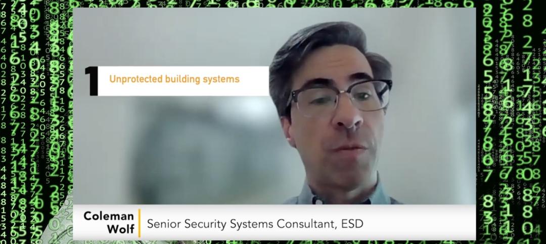
BAS and Security | Oct 19, 2022
The biggest cybersecurity threats in commercial real estate, and how to mitigate them
Coleman Wolf, Senior Security Systems Consultant with global engineering firm ESD, outlines the top-three cybersecurity threats to commercial and institutional building owners and property managers, and offers advice on how to deter and defend against hackers.

Sponsored | BIM and Information Technology | Jul 19, 2022
Why Autodesk Tandem is the best fit for your projects
Sponsored | Digital Twin | Jun 24, 2022
Pave the way for better business relationships with digital twins

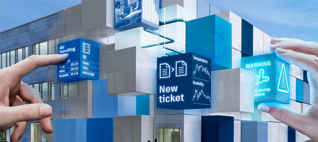
Smart Buildings | Jun 1, 2022
Taking full advantage of smart building technology
Drew Deatherage of Crux Solutions discusses where owners and AEC firms could do better at optimizing smart technology in building design and operations.

AEC Tech | Apr 19, 2022
VDC maturity and the key to driving better, more predictable outcomes
While more stakeholders across the AEC value chain embrace the concept of virtual design and construction, what is driving the vastly different results that organizations achieve? The answer lies within an assessment of VDC maturity.

BIM and Information Technology | Mar 16, 2022
Construction still lags other industries in use of technology
JBKnowledge’s latest ConTech report asserts that while contractors have made some gains, too many don’t view IT as a priority, to their detriment.

AEC Tech | Dec 16, 2021
Autodesk to Acquire Cloud Based Estimating Company ProEst
Autodesk, Inc. is acquiring ProEst, a cloud-based estimating solution that enables construction teams to create estimates, perform digital takeoffs, generate detailed reports and proposals and manage bid-day processes. Autodesk plans to integrate ProEst with Autodesk Construction Cloud, a comprehensive construction management platform connecting teams, data and workflows across the entire building lifecycle.


