


Four years ago, Massachusetts Institute of Technology’s City Form Lab launched Urban Network Analysis (UNA), a city-modeling software that facilitates a mathematical analysis of relationships among elements in a complex system, like a city. The unique feature of UNA is that it incorporates activities within buildings into its analysis.
This toolbox has been popular with planners and geographers, but it requires ArcGIS10 software with an ArcGIS Network Analysis Extension.
In April, City Form Lab expanded this software’s utility by introducing UNA for Rhino 3D, a modeling software for architects, engineers, and designers.
“Our toolbox helps planners and architects analyze these relationships and quantify how intensely different routes are likely to be utilized, how visible or connected public spaces are, or how conveniently one can get from one space to another,” says Andres Sevtsuk, the principal investigator at City Form Lab and developer of the UNA tool.
In layman’s terms, the software predicts where people are likely to go once they’ve decided upon an activity, like, say, going to an ATM machine or a park. The software provides users with some idea about which ATM or park that would be. As for movements to and within buildings, UNA takes into account employee head count, a building’s value, the surrounding population, and so forth.
This app’s toolbox also computes how urban design can affect—or even dictate—pedestrian movement. Sevtsuk notes, too, that the software can be scaled to account for the diversity of movement in different cities and towns.
Sevtsuk is encouraged by the sheer amount of spatial data available about urban areas, particularly in the U.S., where “you can go to any sizable city website and download data that is necessary to calibrate any of these models.” He’s confident that this software can be used to predict movement in public or semi-public spaces such as building lobbies or shopping centers.
Related Stories

Drones | Feb 3, 2016
A new volume measurement tool makes drone imagery easier to analyze
DroneDeploy’s latest app is available for all mobile devices.

BIM and Information Technology | Jan 27, 2016
Seeing double: Dassault Systèmes creating Virtual Singapore that mirrors the real world
The virtual city will be used to help predict the outcomes of and possible issues with various scenarios.

BIM and Information Technology | Jan 26, 2016
How the Fourth Industrial Revolution will alter the globe’s workforce
The next great technological metamorphosis will be unlike anything humankind has experienced before, due to the sheer size, speed, and scope of disruption.

Great Solutions | Jan 20, 2016
Skanska’s new app helps construction teams monitor and meet environmental quality standards while renovating hospitals
App allows users to track noise, differential pressure levels, vibration, and dust

Augmented Reality | Jan 19, 2016
Will Generation Virtuals' office be a pair of glasses?
A waning need for office buildings may be on the horizon, thanks to the possibility of working remotely via new technologies like Google Cardboard, writes HDR's Rachel Park.

BIM and Information Technology | Dec 21, 2015
Laser scanning and in-shop prefabrication a boon for the WellStar Paulding Hospital
Contractor Brasfield & Gorrie’s use of BIM and prefabrication on the Hiram, Ga., hospital shows how digital tools can lead to savings, safety, and better construction.

Sponsored | BIM and Information Technology | Dec 17, 2015
How is the Value of VDC for Design Management Translating Outside the US?
Sascha Vesterlund, a VDC Specialist, Design Processer with MT Højgaard, and Nathan Wood, Innovation at DPR Construction, shared their perspectives on VDC

BIM and Information Technology | Dec 3, 2015
New app visualizes cellular and Wi-Fi signals in an area
Using data collected from millions of cell towers and Wi-Fi routers, the app makes the invisible visible.

BIM and Information Technology | Nov 30, 2015
Light-based wireless technology is 100 times faster than Wi-Fi
Li-Fi, which reaches speeds of 224 gigabits per second, is being tested in Estonia.
Sponsored | BIM and Information Technology | Nov 25, 2015
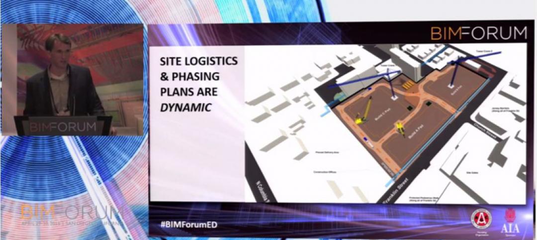
Contractor leverages dynamic site logistic plan as BIM deliverable
I recently sat down with two Architects-Turned-VDC-Process-Managers to discuss the ways in which they are leveraging technology to bring the value of BIM downstream


