

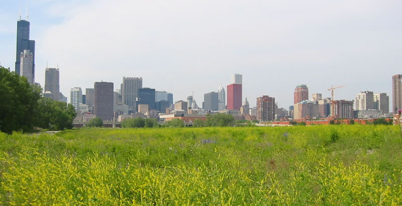
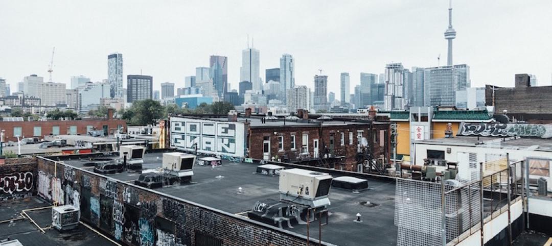
As urban sprawl continues to chew up the Chicagoland area, it’s odd that a little swath of land just outside the city’s downtown has remained vacant for decades.
A green space that was once railroad land has been snatched up by developers. The Chicago Tribune reports that Related Midwest, a developer of luxury condos, mixed-use, and master-planned projects, now controls 62 acres that connect Chicago’s South Loop to its Chinatown.
Related Midwest, which developed Hudson Yards in Manhattan and counts Chicago's 500 Lake Shore Drive, One Bennett Park, and OneEleven as its properties, will lead a multibillion-dollar joint venture that will bring thousands of homes and millions of square feet of office space and stores. Located next to the Chicago River, the site might even have its own Riverwalk.
Other ideas pitched include a CTA station (light rail service), a Metra stop (commuter train service), and a high school. Chicago’s Wells Street will also extend through the area. The street currently ends at Roosevelt Road, at the site’s northern border.
"It's been this missing link, a hole in the center of Chicago," Phil Enquist, who leads SOM’s global city design practice and has advised Related Midwest and others over the years about the site, said to the Tribune. "I think it's a very positive story — this allows us to rethink a long stretch of the Chicago River."
Related Midwest has not yet formed a detailed plan for the site. The city will also have to rezone the land and allow for residential use.
Related Stories

Urban Planning | Apr 3, 2017
Capturing the waterfront draw
People seem to experience a gravitation toward the water’s edge acutely and we traverse concrete and asphalt just to gaze out over an open expanse or to dip our toes in the blue stuff.
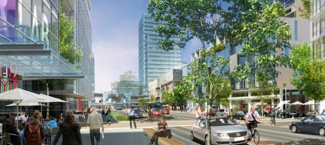
Urban Planning | Mar 31, 2017
4 important things to consider when designing streets for people, not just cars
For the most part what you see is streets that have been designed with the car in mind—at a large scale for a fast speed.
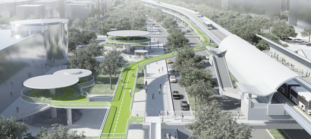
Urban Planning | Mar 14, 2017
Denmark-based architecture firm gives China the world’s longest elevated bike path
The Xiamen Bicycle Skyway stretches for 7.6 kilometers throughout the central part of the city.
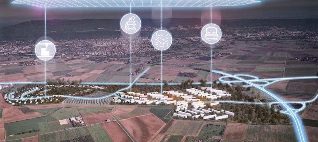
Urban Planning | Feb 9, 2017
Abandoned WWII-era military village to become 'commune for the 21st century'
The village in Heidelberg, Germany, which 16,000 Americans called home at one time, is being redesigned as a commune for up to 4,000 people.

Green | Feb 6, 2017
A to Z: Seoul’s elevated park features 24,000 alphabetized plants
The plants will represent 250 species found in South Korea.
Urban Planning | Jan 17, 2017
Using 'hidden data' to probe urban problems
The Center for Neighborhood Technology has been tackling poverty, housing, transportation, and environmental issues for four decades.

Architects | Nov 11, 2016
Six finalists selected for London’s Illuminated River competition
The competition is searching for the best design for lighting the bridges of central London.
Building Tech | Nov 9, 2016
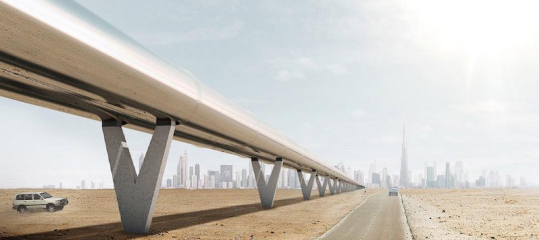
Dubai to Abu Dhabi in 12 minutes: A hyperloop from Hyperloop One and BIG could make it possible
The pods can reach speeds of up to 1,100 kilometers per hour.
Urban Planning | Nov 4, 2016
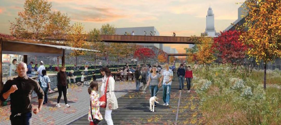
Rail Park breaks ground in Philadelphia
The project is finally moving forward after nine years in the making.
Urban Planning | Oct 27, 2016
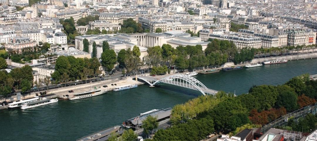
Paris plans to transform the right bank of the river Seine into car-free pedestrian zone
Drivers are worried the move will cause an increase in traffic congestion.


